IATI Standard selected by leading geospatial initiative to improve mapping of development cooperation
The Mapping for Monitoring and Evaluation (MAPME) initiative has chosen the IATI Standard as the foundation for publishing location data on development projects. MAPME promotes open access to geographic information systems (GIS) and tools for planning, monitoring, and evaluating international cooperation. Its global community supports efforts to address climate change, poverty, and environmental degradation.
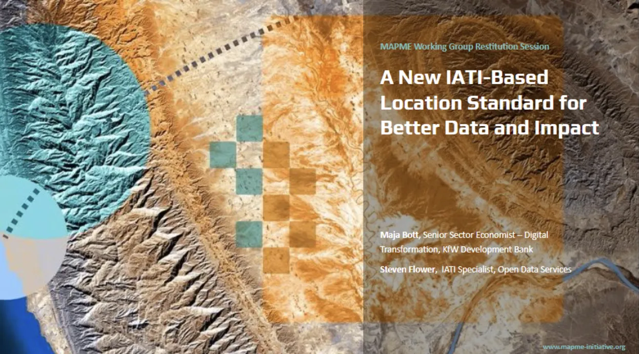
In June 2026, the MAPME community endorsed a proposal to use the IATI Standard as a common framework for publishing project location data. The proposal follows six months of collaboration involving development finance institutions, multilateral organisations, geospatial specialists and the IATI Secretariat.
Why project location data needs improving
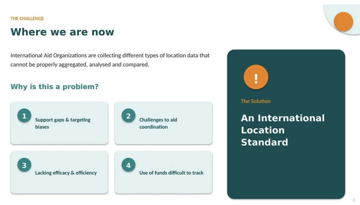
Knowing where projects take place is essential for planning, monitoring, evaluation, coordination and risk analysis. MAPME recognised that while organisations increasingly collect location data, it is often use different structures, definitions and formats. As a result, project location data can be difficult to compare, aggregate and analyse across institutions.
This lack of consistency can limit visibility of funding and reduce opportunities to understand how investments are reaching communities.
To address these challenges, a MAPME‑led working group developed a proposal to improve the consistency, interoperability, and usability of sub‑national location data. The group included representatives from KfW, the World Bank, IFAD, the Asian Development Bank, the African Development Bank, the Inter‑American Development Bank, OCHA, and the IATI Secretariat.
Michelle C. A. Piccoli, Geospatial Analyst at IFAD, said, “For IFAD, participation in the MAPME working group has been a valuable opportunity to contribute to and learn from a community of practitioners working to improve project location data. The initiative highlights the benefits of common standards in supporting more effective monitoring, analysis and collaboration.”
New project location model: Building on the IATI Standard
Presented at GeoField 2026 in Rome (1-3 June), MAPME’s proposal builds on the IATI Standard rather than creating a new framework for project location reporting. To date, nearly 500 organisations publish more than 600,000 locations across approximately 250,000 activities.
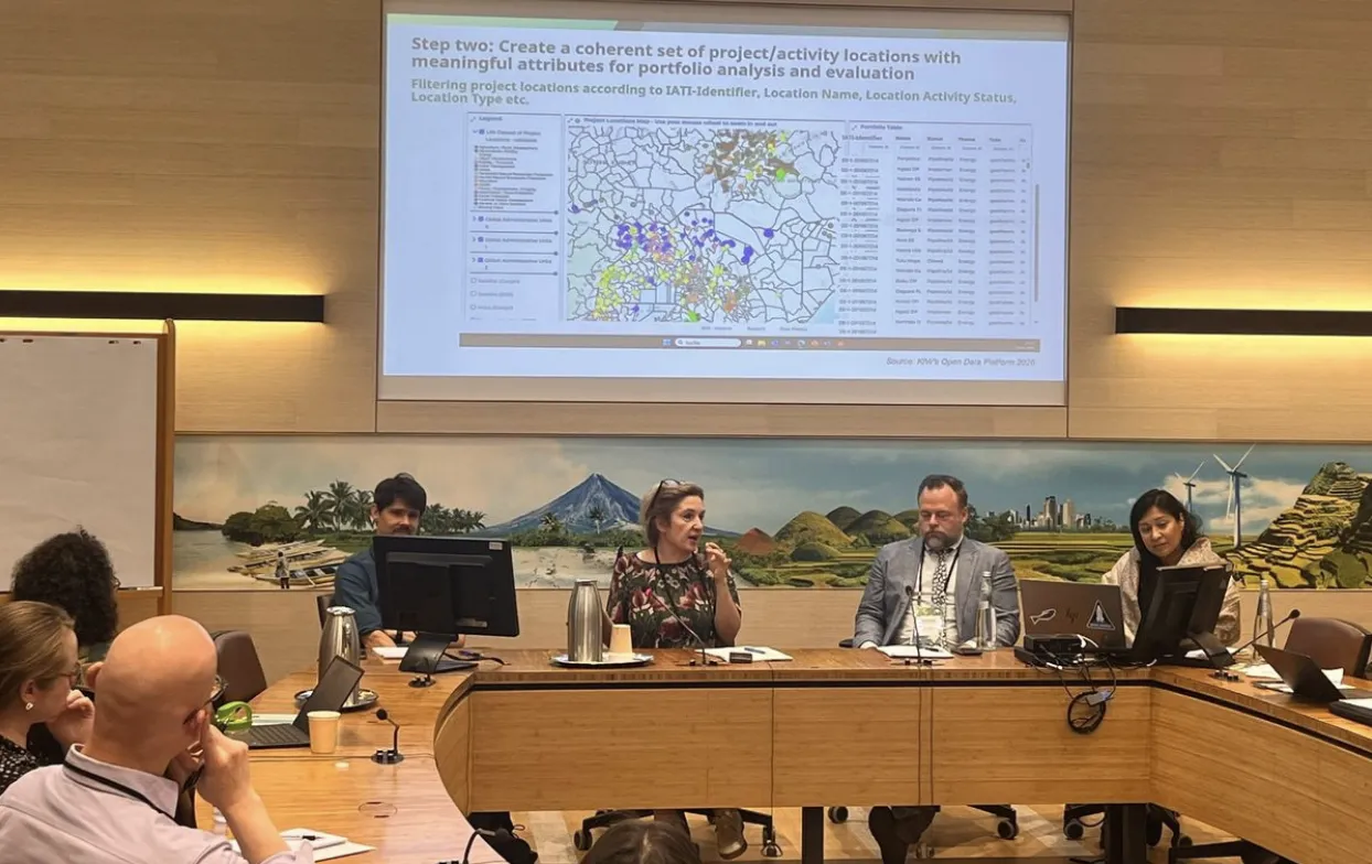
Using the IATI Standard, the MAPME community proposes several enhancements and modifications to the IATI Standard to improve how project location data is shared. These include:
- clearer approaches to representing exact and approximate locations
- improved location identifiers and descriptions
- support for point, line, and polygon geometries
- additional attributes to support analysis and mapping
- modified location type classifications
- modified administrative boundary references
These changes seek to improve the consistency and interoperability of IATI data across organisations.
Many locations, many projects
An interesting observation from the MAPME community has been the reality that the same location can have multiple purposes, in relation to the varied development needs of the community.
For example, a school building could serve as a place for education & training, a polling station, and also a vaccination centre. Understanding this is a crucial step for better coordination and effectiveness, something that these proposals will help surface.
Benjamin P. Stewart, Senior Geographer at World Bank Group, said: "For years, the World Bank Group has been improving how it maps and understands where its projects are implemented: precise project location data is fundamental to designing, implementing, monitoring and evaluating how we work. The IATI and MAPME Project Location Standard organises and refines the development community's varied data collection efforts and leads to improved project management and donor coordination. We are excited to be a part of this initiative and look forward to its continued improvement and implementation."
Connecting IATI and geospatial communities
This work follows collaboration between MAPME and the IATI Secretariat earlier this year. In January IATI’s State of the Data Dialogue on sub‑national location data brought together members of the IATI community, geospatial specialists, and development practitioners to explore how location information can enhance the usefulness of development and humanitarian data.

The meeting highlighted both the growing use of location data across the sector and the challenges created by differing approaches to collecting and publishing this information. It also provided an opportunity to strengthen links between the IATI and MAPME.
Looking ahead
MAPME member organisations will now begin testing these approaches within their own systems and reporting processes. The lessons from this work will help inform a set of potential changes for consideration through IATI’s established standards process, including by the IATI Standard Oversight Committee.
As with all proposed changes to the IATI Standard, any updates would be subject to community consultation, evidence of user need, and assessment of their impact on publishers and data users. This staged approach allows individual proposals to be considered as they emerge, supporting incremental improvements informed by practical experience.
This collaboration between MAPME, the IATI community, and specialist technical networks demonstrates how partnerships can strengthen the usability and interoperability of development and humanitarian data. As organisations increasingly seek to understand not only how much funding is provided, but also where investments are taking place, improving project location data has the potential to support better coordination, stronger evidence, and more effective decision‑making.
More information
Further information on the MAPME project location proposal, including the draft data model and technical documentation, is available on the MAPME website:
- Project Location Standard: https://www.mapme-initiative.org/blog/project-location-standard/